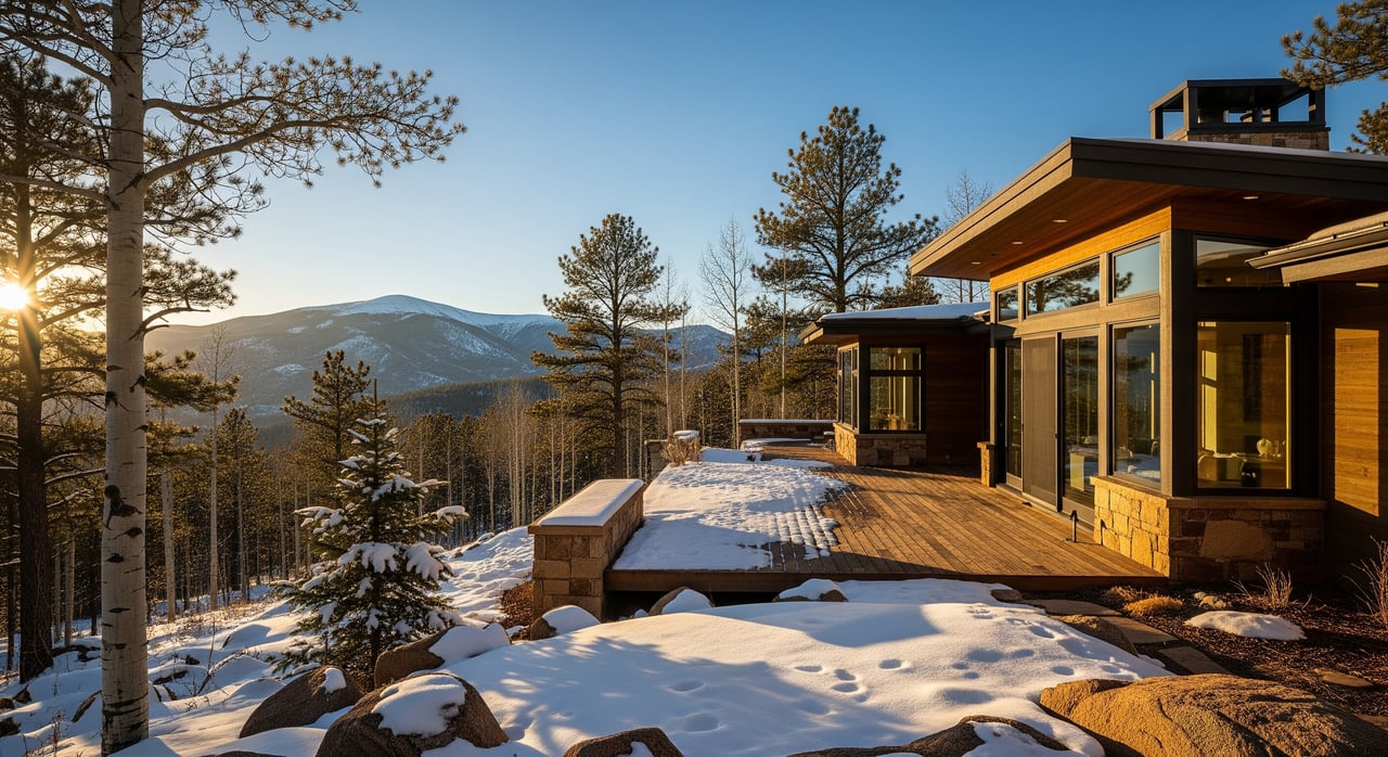
Thinking about building on a slope near Conifer and unsure where to start? In the foothills, the ground beneath your feet matters as much as the view. You want clarity on geology, permits, and timing so your project moves forward without surprises. In this guide, you’ll learn how local terrain affects design, which Jefferson County permits apply, and simple steps to reduce risk and cost. Let’s dive in.
Conifer terrain at a glance
Conifer sits in the Front Range foothills at roughly 8,200 to 8,400 feet. That elevation places most properties within Jefferson County’s Wildland Urban Interface, which can add defensible space steps to your project. The terrain varies from gentle benches to steep, rocky hillsides, so site-specific planning is essential.
Geology that shapes your site
Bedrock and soils
Local bedrock and surficial soils control how slopes behave and how foundations are designed. You can review the area’s patterns on the USGS Conifer quadrangle geologic maps, which are the authoritative reference for bedrock and soil context. These maps help your engineer and builder understand excavation, footing options, and drainage needs.
- Explore the USGS Conifer quadrangle mapping for local bedrock and soils: USGS Conifer geologic map
Landslide susceptibility
Western Jefferson County, including the Conifer area, includes zones mapped for landslide susceptibility. Triggers often include steep slopes, saturated soils from heavy rain or snowmelt, earthwork that cuts or fills, and changes to vegetation. Reviewing county and state mapping early helps you anticipate whether a geotechnical review will be part of your permit path. For countywide context, see the Colorado Geological Survey’s landslide susceptibility overview for Jefferson County.
Wildfire and post-fire erosion
Wildfire can remove vegetation that stabilizes soil, which increases the chance of erosion and debris flows. Jefferson County maps and regulates the Wildland Urban Interface to reduce risk and require defensible space on many projects. If you are planning a new home or addition, expect a defensible space inspection as part of your building permit process. Learn more on the county’s Wildfires and defensible space page.
Permits for hillside projects
Building on a slope does not automatically make things complicated, but it does make planning essential. The permits below are the ones you will most commonly see in unincorporated Jefferson County near Conifer.
- Building Permit. Required for new homes and most additions. Submittals include site plans and local design criteria such as snow loads. In mapped geologic hazard areas, the county may ask for a soils or geotechnical report. See Jefferson County’s Design Requirements.
- Grading Permit or Notice of Intent. Required when land disturbance exceeds 0.5 acre, or for certain earthwork activities. Smaller new-home projects often file a Notice of Intent instead of a full permit. Details are in Engineering and Earthwork.
- Access or Driveway Permit. Needed for new driveways that connect to county roads, with standards for grade, spacing, and culverts. Start with the county’s guidance for New Homes and Access.
- Floodplain Development Permit. Required if your building envelope is inside a mapped floodplain or overlay district. Check requirements under Floodplain Management.
- Defensible Space Permit. Common in the Conifer area due to elevation and WUI mapping. A County-approved forester must inspect and sign off before final approvals. See Wildfires and defensible space.
When geotechnical reports apply
Jefferson County ties geotechnical requirements to mapped geologic hazard overlays, the scope of grading, and plan review. There is no single public slope percent that triggers a report. If your lot is in a Geologic Hazard Overlay or you plan significant cuts or fills, expect to be asked for soils testing and a geotechnical report.
- Check overlays and process language in the Zoning Resolution.
- Use the county’s geology resources and map links to see if your parcel intersects a hazard layer: Jeffco Geology and mapping.
Typical triggers for a geotechnical investigation include:
- Property inside a geologic hazard overlay, such as landslide or rockfall.
- Significant grading for homes, pads, or driveways that change slope geometry.
- Signs of slope movement, springs or seeps, or areas affected by recent wildfire.
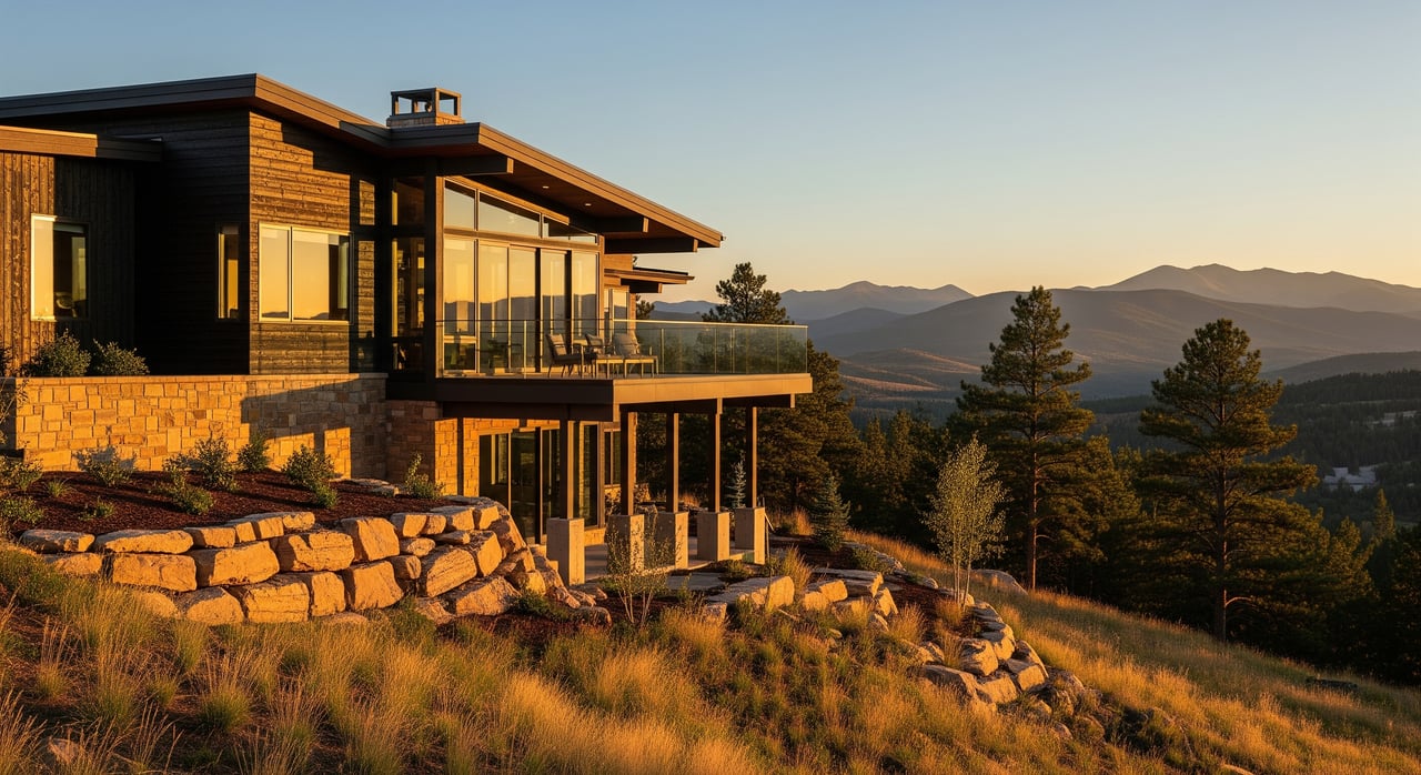
Slope-smart design basics
Simple design choices can reduce risk and help permits move faster. Your engineer and builder will likely discuss these items during planning.
- Drainage control. Capture roof runoff, route water away from structures, and avoid concentrating flow on steep slopes.
- Engineered retaining walls. Taller or loaded walls need engineered plans, inspections, and careful drainage behind the wall.
- Foundation selection. Expect stepped footings or piers where soils are weak or slopes are steep. Geotechnical guidance informs the design.
- Vegetation and erosion control. Preserve deep-rooted native vegetation where practical, and revegetate promptly after grading.
Timeline and coordination
Plan for a few added steps when building on a hillside near Conifer. If your disturbance exceeds 0.5 acre, you will likely need a Grading Permit, which includes engineering review and inspections under Engineering and Earthwork. If you need a private well, the Colorado Division of Water Resources notes that complete well permit reviews can take several weeks. See the state’s well permitting process.
Defensible space inspections are commonly required before a building permit is issued in the WUI. Scheduling the forester visit early can keep your timeline on track. When in doubt, start with a planner to confirm overlays and submittals found in the Zoning Resolution.
Research a parcel like a pro
Do a quick desktop review before you invest in design work.
- Open the county’s geology page and launch the interactive layers for Geologic Hazards, Floodplain, and WUI: Jeffco Geology and mapping.
- Note any overlays that touch your lot or driveway route. Save maps for your builder and engineer.
- Ask Planning and Zoning about any subdivision plat notes that require special studies.
- Confirm whether your driveway needs an Access Permit through the New Homes and Access page.
Buyers and sellers on sloped lots
For buyers
If you are evaluating a hillside property, request any past soils or geotechnical reports, grading plans, and defensible space documentation. Check county overlays, then talk to your designer about likely drainage and foundation solutions. If the property will rely on a private well or septic, plan those timelines into your closing and construction schedule.
For sellers
Organize records that reduce buyer uncertainty. Useful items include prior geotechnical reports, engineered wall plans, grading or Notice of Intent approvals, well permits, and defensible space inspections. Clear documentation can help your property stand out and support a smooth due diligence period.
Next steps
Hillside living near Conifer rewards good planning. With the right team and early coordination, you can manage geology, permits, and design with confidence. If you are weighing your options, connect with a local advisor who understands foothills terrain and county process. For thoughtful guidance on buying or selling in the Conifer area, reach out to Emily Henderson for a conversation.
FAQs
What permits do I need to build on a sloped lot in Conifer?
- Most projects need a Building Permit, plus Grading or a Notice of Intent, an Access Permit for new driveways, and a Defensible Space Permit in the WUI. Floodplain permits apply if your site is in a mapped flood zone. See Design Requirements, Engineering and Earthwork, and Wildfires.
Do I need a geotechnical report for every hillside home in Jefferson County?
- Not every project, but reports are common in mapped geologic hazard areas or where significant grading is planned. Confirm overlays and submittals with Planning and Zoning using the Zoning Resolution and the Jeffco Geology map.
How does wildfire risk affect permits near Conifer?
- Properties in the WUI usually require a Defensible Space Permit with a forester inspection before building permits are finalized. Learn more under Wildfires and defensible space.
When is a Grading Permit required for my project?
- If disturbance exceeds 0.5 acre, a Grading Permit is typically required. Smaller new-home projects often use a Notice of Intent. Details are in Engineering and Earthwork.
Where can I check landslide susceptibility near my property?
- Start with the county’s geology layers, then review countywide context in the Colorado Geological Survey’s landslide susceptibility overview.
How long does a Colorado well permit take for a new home?
- The Colorado Division of Water Resources notes that review of a complete application can take several weeks. Plan ahead using the state’s well permitting process.
How do I verify bedrock and soil conditions around Conifer?
- Consult the USGS Conifer geologic map and share it with your geotechnical engineer for site-specific evaluation.